For the past few months I have been living in a national park. Throw out all ideas of mountains or miles away from any "civilization" because the Boston Harbor Islands are as connected to Boston as any suburb (well, except for the water that is between us).
While the harbor has dozens of islands, I live on one of the closest: Thompson. Each week students from the city come and learn about the environment, teams, and themselves. But the rich history of this place shows through if only you have eyes to see.
As most stories of place start, Thompson Island was first used by the people that were here since time immemorial. On this island specifically, the Wampanoag peoples used the island for trading and as a neutral meeting space. Europeans traded as well and David Thompson named the island after himself.
Map of the harbor. I'm on the blue dot in the middle!
At the founding of this nation the island was owned by the city of Dorchester (south of Boston) and rented out of farmers so they could graze sheep (fun fact: at this time the island was clearcut). The profits from that allowed Dorchester to open up the first public school in North America!
But in 1833 there was a need to train the poor boys of Boston so they were not running around on the streets. Thus the Boston Farm School Society was founded and orphan boys were sent to learn how to farm.
Boston, our dock and Castle Island
That first trip from the boys might have looked somewhat like this. As they are getting off the dock they could have looked back and seen the city (even though it was much smaller in their time). You can also see the fort on Castle Island on the horizon to the right.
Western shore at low tide.
Tides are also something that I'm getting used to. This is our western shore at low tide, and at high it will come to a few feet from the grass. So if I sat on the beach long enough, I would be swallowed by the tides! Getting used to the tides is much like checking the weather every day (more on that to come).
The foundation on the left is where the 'new' barn used to be.
As the boys got off the boat they would have seen a fantastic barn as they walk up the hill. The foundation of this "new barn" (the old one had burnt down) is still being used as part of our buildings today.
Main campus
Heading north has visitors arrive at the quad, or main campus. This is where the dorms and cafeteria are. On the right is the oldest building still in use on the island and that is where boys in later decades would learn industrial trades.
Football field
These boys had so much time on their hands. They would live, learn, work, and play all together. This lead to a few big projects. The football field, for example, was dug out entirely by the boys by hand! It is still in use to this day.
One of the locations of cottage row.
They also built their own little houses called "cottage row." This is one of the locations of the row. Sadly none of the foundations have survived.
Weather Station
Another project the boys had was the weather station. Each day they would send data on the weather to the mainland where it would be added to the national weather service.
Field where farming used to happen
This main field is looking toward the southern end. While it looks like a dynamic mix of forest, field, and marsh when the boys arrived it was all clear cut. So while there was tons of farming, the boys started an orchard (located on the left) and also started to plant some trees. Our oldest trees on the island is from this time.
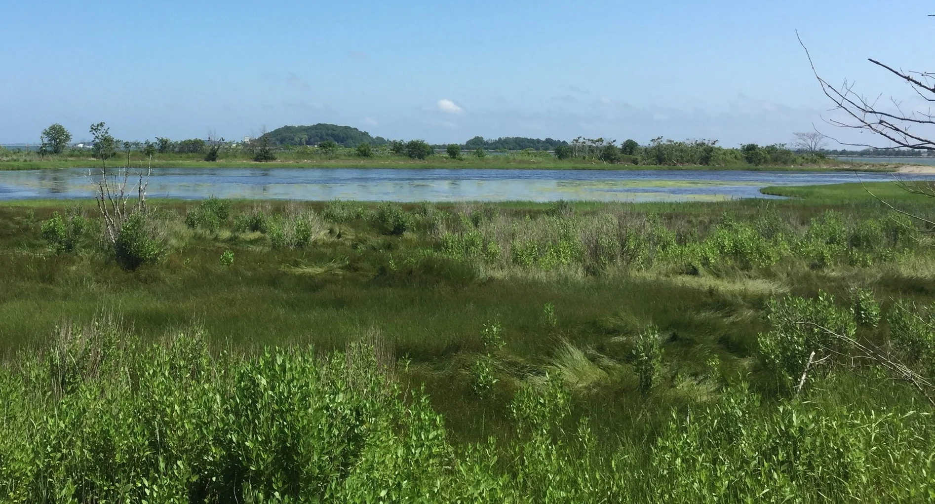
East Salt Marsh
The eastern salt marsh! Each day the ocean rushes in and rushes out. This leaves this marsh saltier than the ocean. When the island became an environmental educaiton center in the '70s, there was a push to make the salt marsh "marshy" again since the boys had closed it off to the ocean. Today it is restored to a happy and healthy marsh.
Root Cellar
This is where the boys would keep vegetables. Even though it does not have a roof anymore, it is completely safe to walk into!
West Salt Marsh
The western salt marsh. While it was not as drastically changed as the eastern, photographs from the early 20th century show this marsh completely drained. Like the eastern, it is now healthy.
Alpine Towers
Our alpine towers where students climb the 62 feet of pure adventure!
Turkeys at the tower!
Horseshoe Crab
The wildlife here is awesome. Horseshoe crab, turkeys, and countless crabs and birds make it a very noisy but wonderful place to explore.
Students getting soaked exploring
It is awesome to think that since 1833 the mission of the island has been the same (in a general sense): take youth from Boston who are under served, give them tools that will help them in their future career, and do it all in an outdoor classroom. Even though the tools have changed over the centuries (from farming to industrial to science), I can't wait to see what is next in store for this unique national park.


